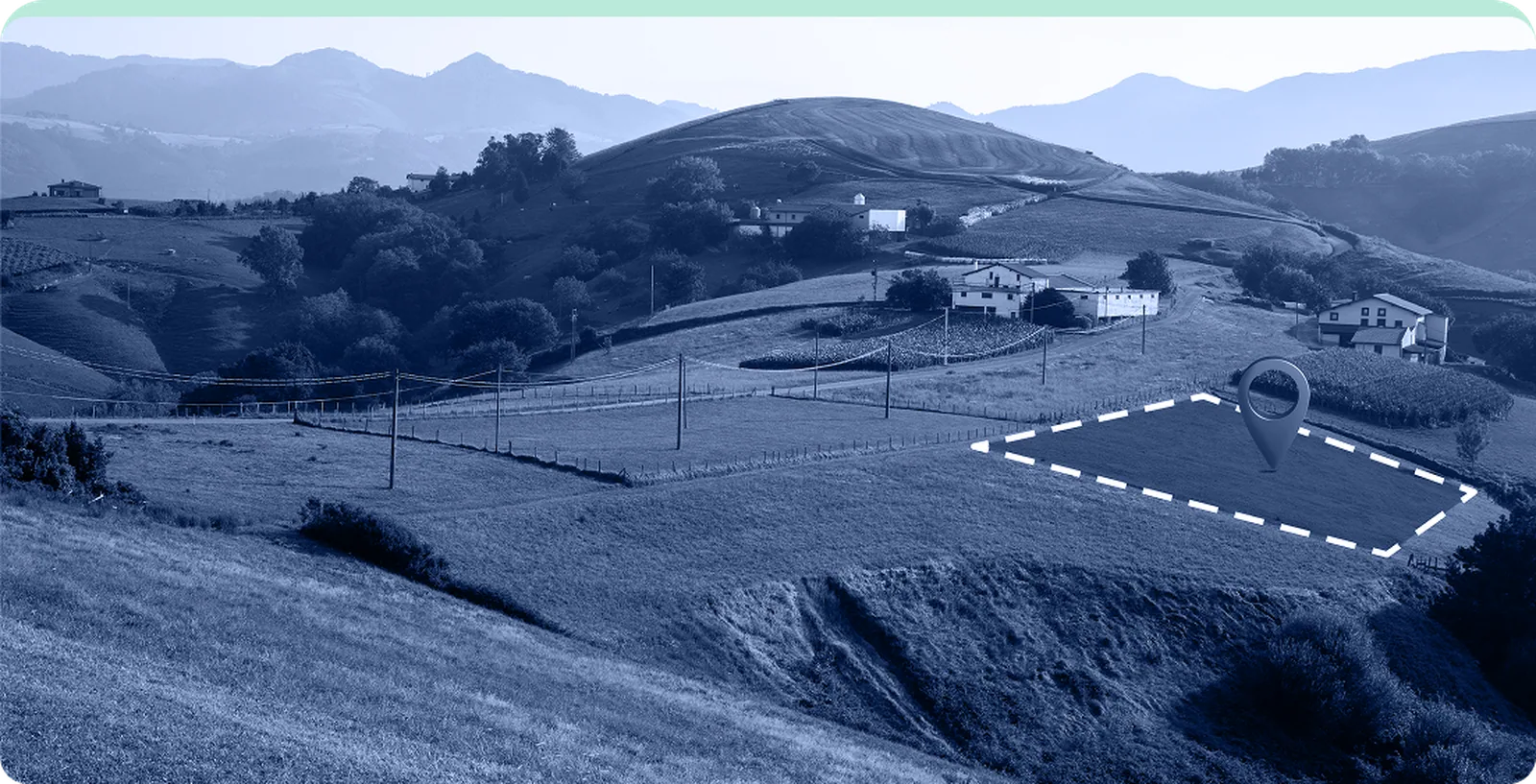
Ready to see SiteCheck in action?
Book a DemoWhy Choose SiteCheck
Assess any parcel with real, verified data for instant build feasibility.
Run compliance checks in seconds, saving time and reducing risks.
Simulate builds directly on real sites with authentic terrain.
Gain Instant Confidence with Clarity
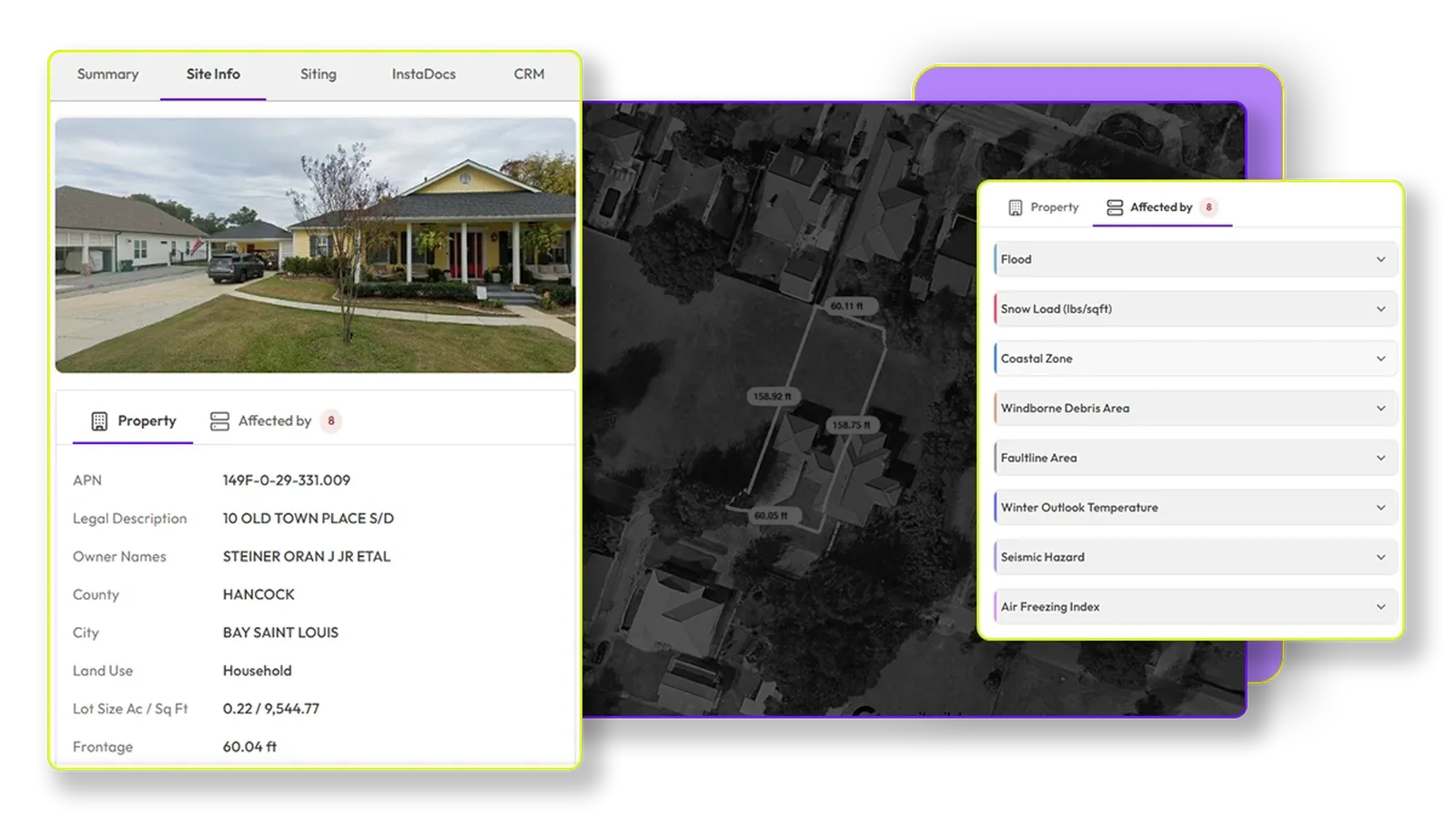
Instantly know what can be built and where
Zoning, overlays, site constraints, all in one click. Get a comprehensive understanding of your site's potential without manual research.
Learn More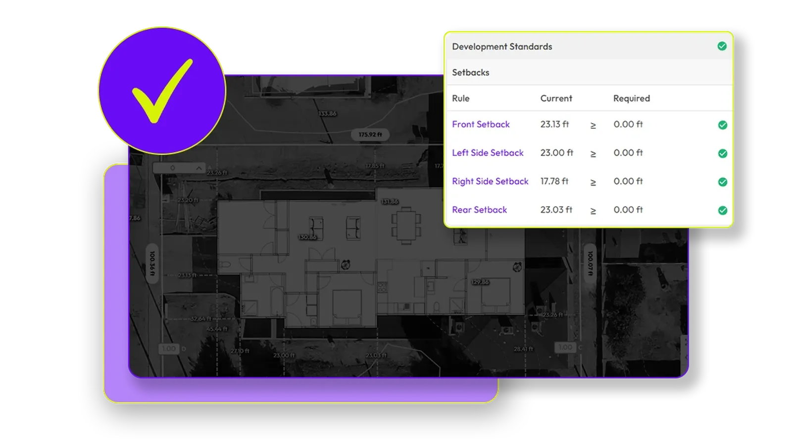
Accurate topography information
Get surveyor-grade site data in minutes, anywhere in ANZ. View topography maps that are 97% accurate compared to registered surveys, with 1-metre contour intervals and color-coded elevation changes.
Learn More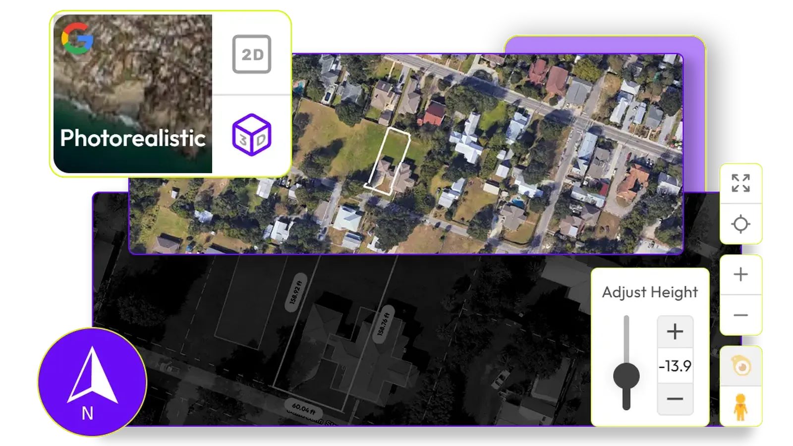
See it before you build it
Visualise your site with design options in real-time 3D. Understand solar impacts, view corridors, and site lines with unparalleled clarity.
Learn MoreSiting & Sales: Built by Builders, for Builders
What Canibuild Users Say
“Canibuild gives us a lot of information about a property straight away, which allows us to ascertain the feasibility of a project, whether we can do it, if we can do it, what obstacles do we need to overcome. So we give people calling our business all the information we can upfront and give them as accurate information as possible straight away, so they know what we're talking about.”
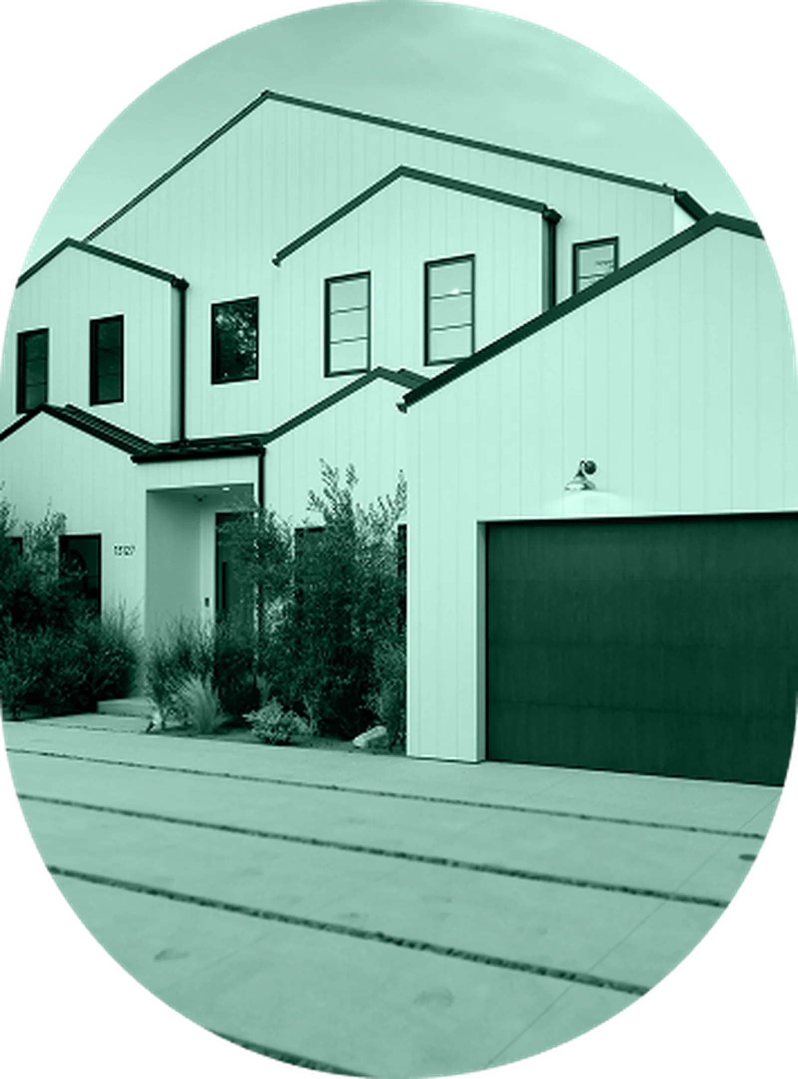
“It's a tool that makes our job so easy. It's part of our mandatory process here at Bell River Homes. We can see the impact it has on our clients now. It helps to actually close deals, and you get deals across the line. I think all builders should consider Canibuild.”
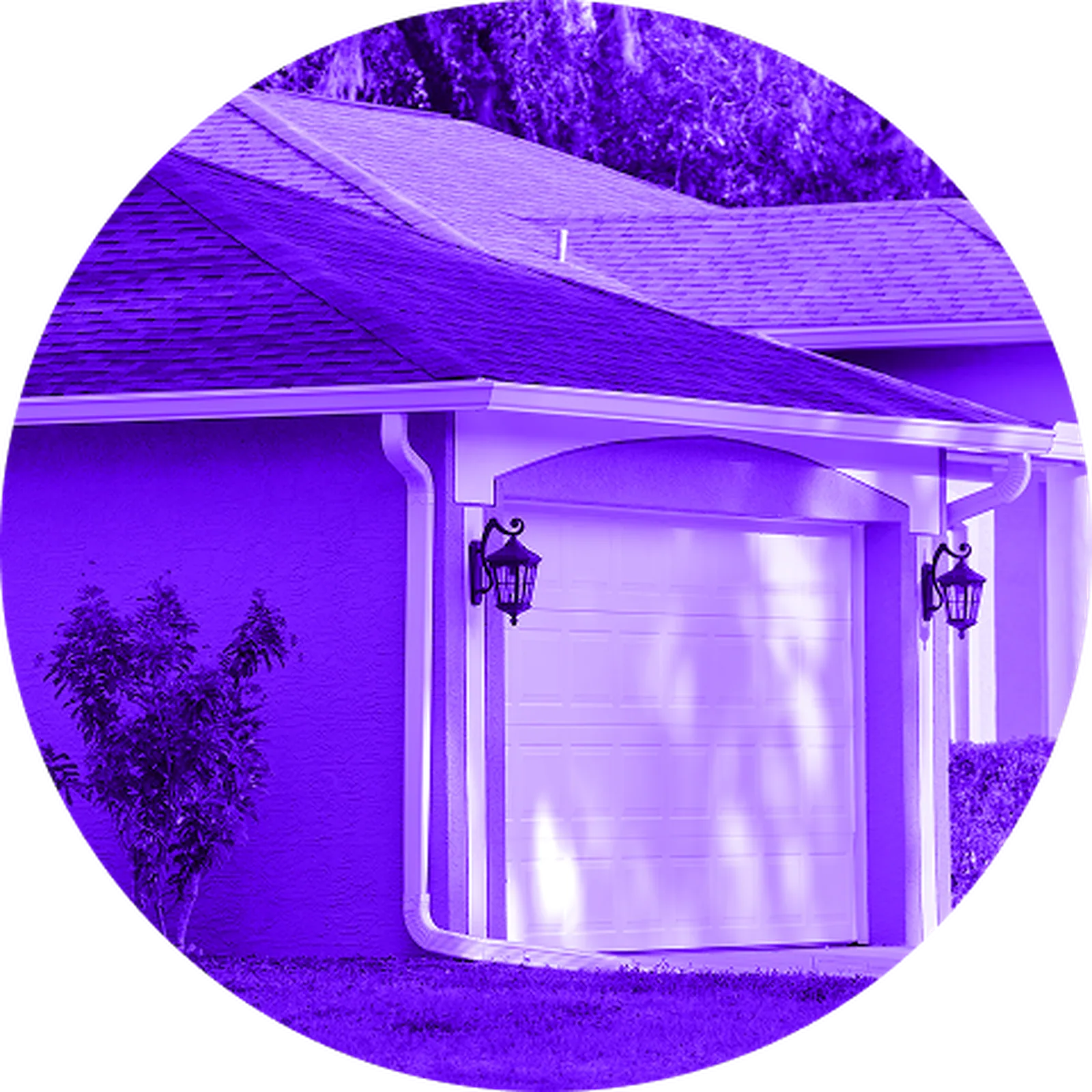
“Using Canibuild has enabled our sales team to have meaningful discussions with their customers early on in the sales process. It helps build rapport with our clients quickly, and we can rapidly respond to enquiries and provide professional collateral that ultimately helps close the deal.”
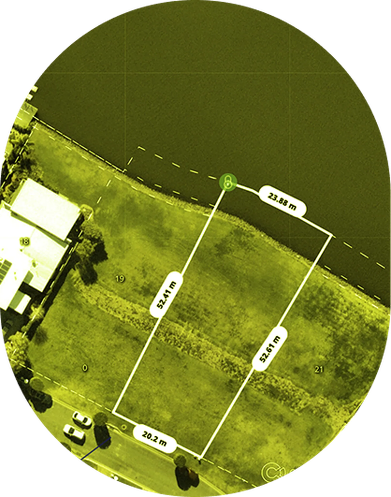
"With Canibuild, I can just click on to an area and straight away I can find myself 20 estates in there. And all of a sudden, I've got all the data I need to know the right land sizes for us to go into a new territory. Land research now is so much easier with Canibuild. "
Enhance Your Experience
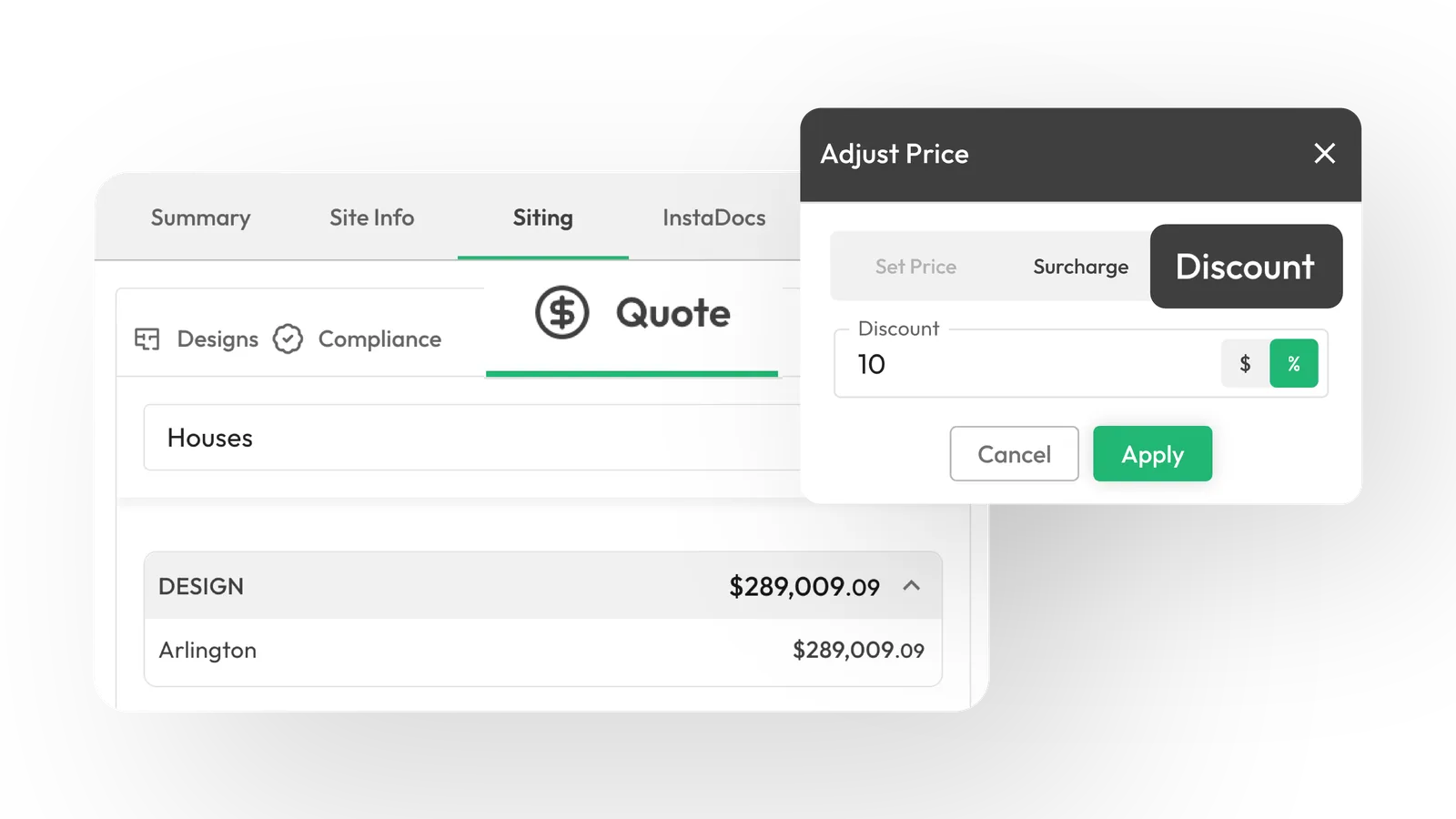
SmartQuote: Instant costs and margins clarity
Generate precise material takeoffs and cost estimates in real-time, so that you can quote faster and more accurately.
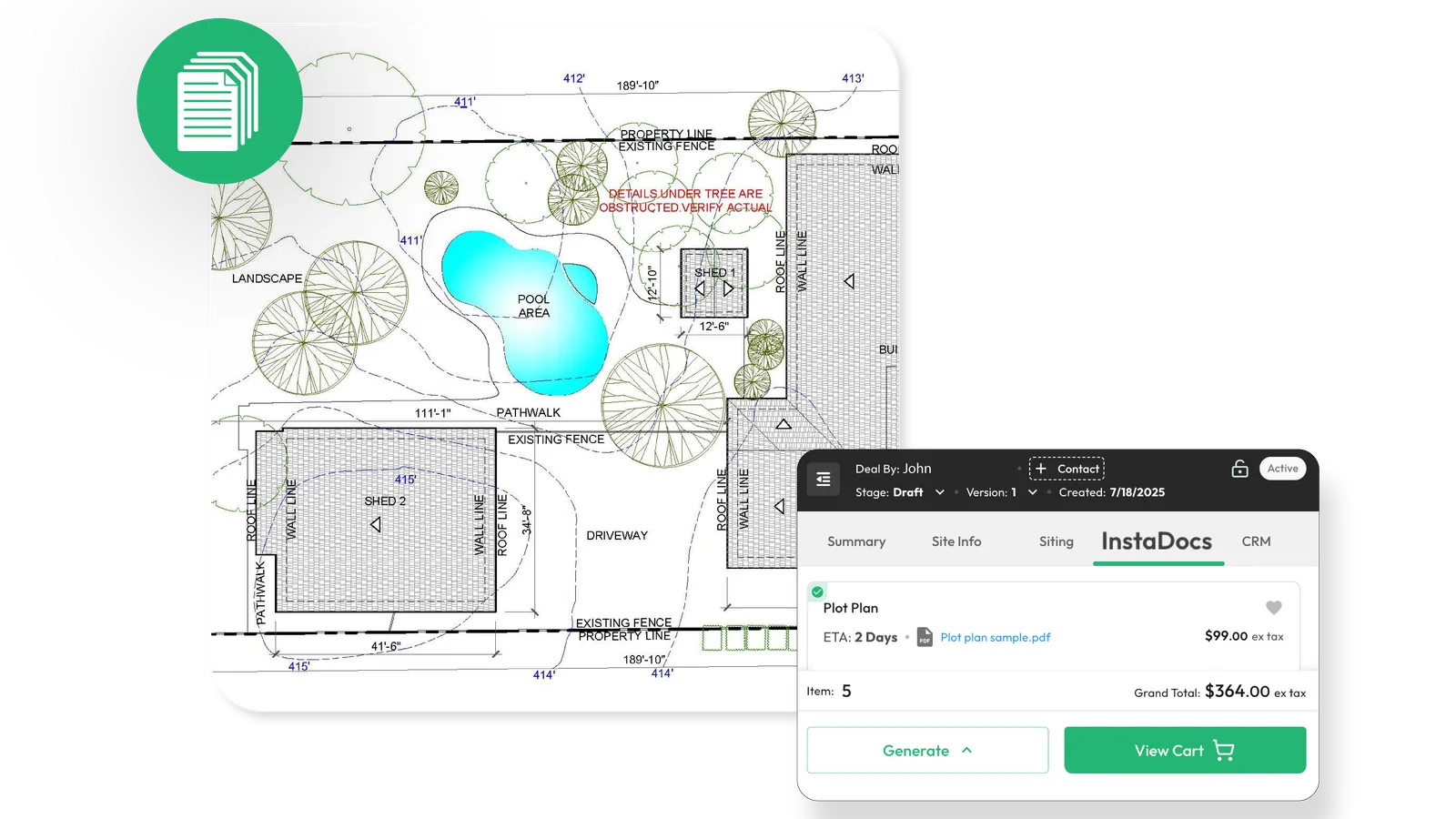
InstaDocs: Order-ready docs with 2-click access
Quickly generate and access all necessary documentation for your build with minimal effort and accelerated turnaround.
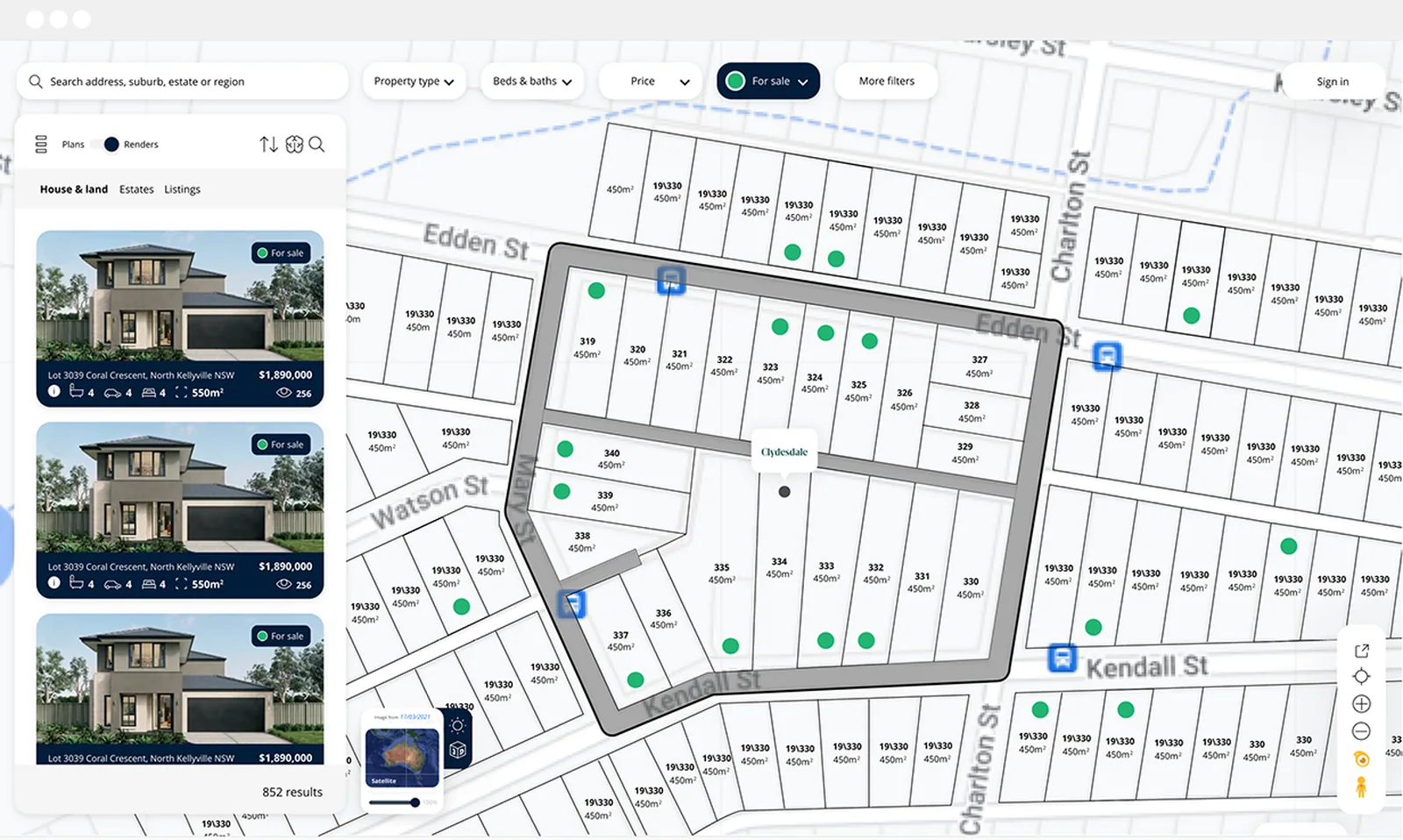
House & Land Packages: Generate and sell House and Land packages faster and easier than ever
Generate as many House and Land packages as you like, giving your sales team plenty of options on the same block of land.
SmartQuote: Instant costs and margins clarity
Generate precise material takeoffs and cost estimates in real-time, so that you can quote faster and more accurately.
InstaDocs: Order-ready docs with 2-click access
Quickly generate and access all necessary documentation for your build with minimal effort and accelerated turnaround.
House & Land Packages: Generate and sell House and Land packages faster and easier than ever
Generate as many House and Land packages as you like, giving your sales team plenty of options on the same block of land.
Frequently Asked Questions
What does SiteCheck do?
Instantly shows where and what you can build using AI and real property data. Start every project with confidence from the first site check.
How accurate is Canibuild's SiteCheck data?
Powered by trusted mapping and council data, SiteCheck provides reliable early-stage feasibility checks. Our GIS team manually verifies every source before entering it into the system, ensuring precision for fast, confident design and client decisions.
How often is the imagery updated?
Our high-resolution aerial imagery is updated regularly every quarter. We pull imagery from a wide variety of sources, providing our users with the most up-to-date images available.
Can I use Canibuild on my mobile phone or iPad?
Yes! Canibuild is cloud-based, therefore you can use the platform on any device from your browser. However, we provide the best usability experience on desktop based browser usage.