Ready to see SiteCheck in action?
Book a DemoWhy Choose SiteCheck
Assess any parcel with real, verified data for instant build feasibility.
Run compliance checks in seconds, saving time and reducing risks.
Simulate builds directly on real sites with authentic terrain.
Gain Instant Confidence with Clarity
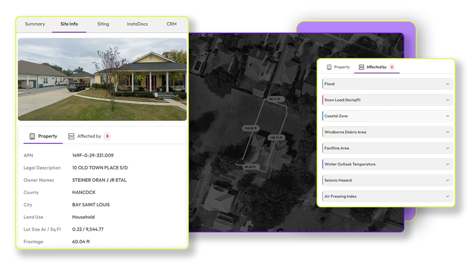
Instantly know what can be built and where
Zoning, overlays, site constraints, all in one click. Get a comprehensive understanding of your site's potential without manual research.
Learn More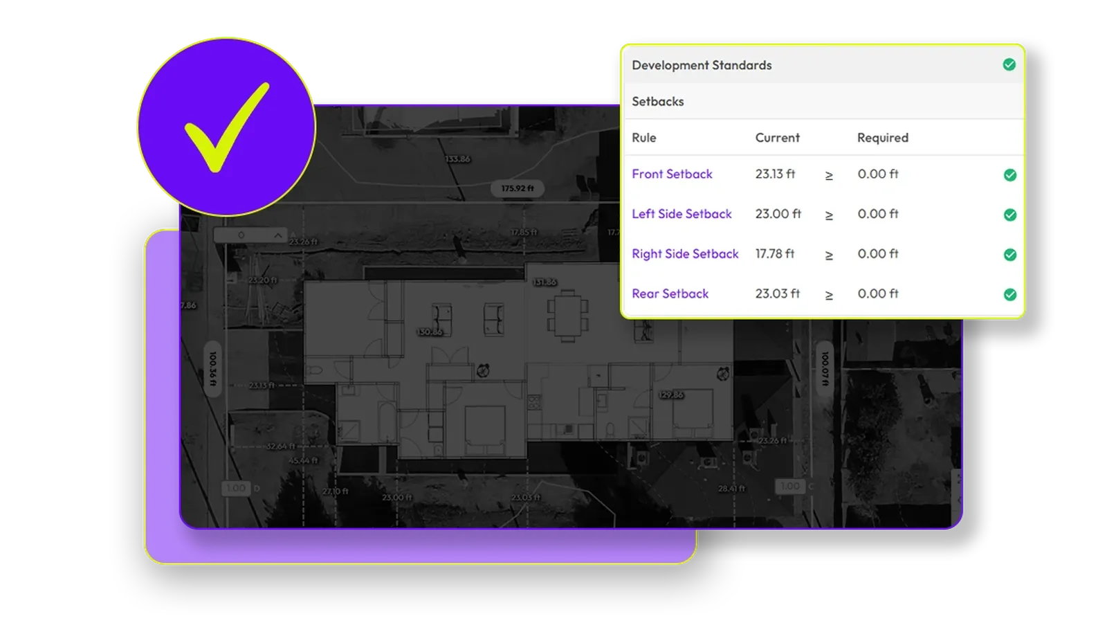
Accurate topography information
Get surveyor-grade site data in minutes, anywhere in the US. View topography maps that are 97% accurate compared to registered surveys, with 1-foot contour intervals and color-coded elevation changes.
Learn More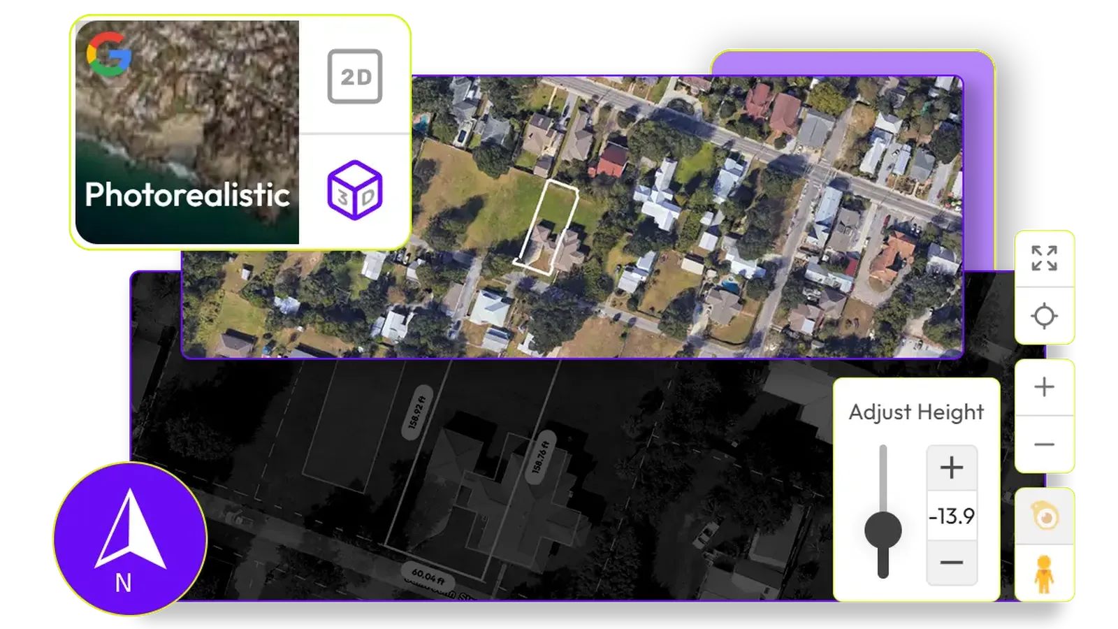
See it before you build it
Visualize your site with design options in real-time 3D. Understand solar impacts, view corridors, and site lines with unparalleled clarity.
Learn MoreSiting & Sales: Built by Builders, for Builders
What Canibuild Users Say
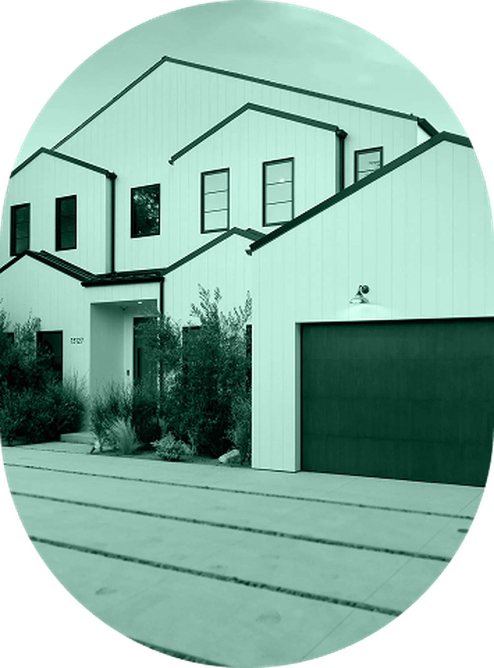
"We adopted Canibuild in late 2020 and it immediately became integral to our selling & feasibility process. In initial client calls, we quickly determine what they can build based on local ADU zoning rules and agree on ADU placement without site visits. This has enabled us to handle infill development like a production builder, supporting our growth."
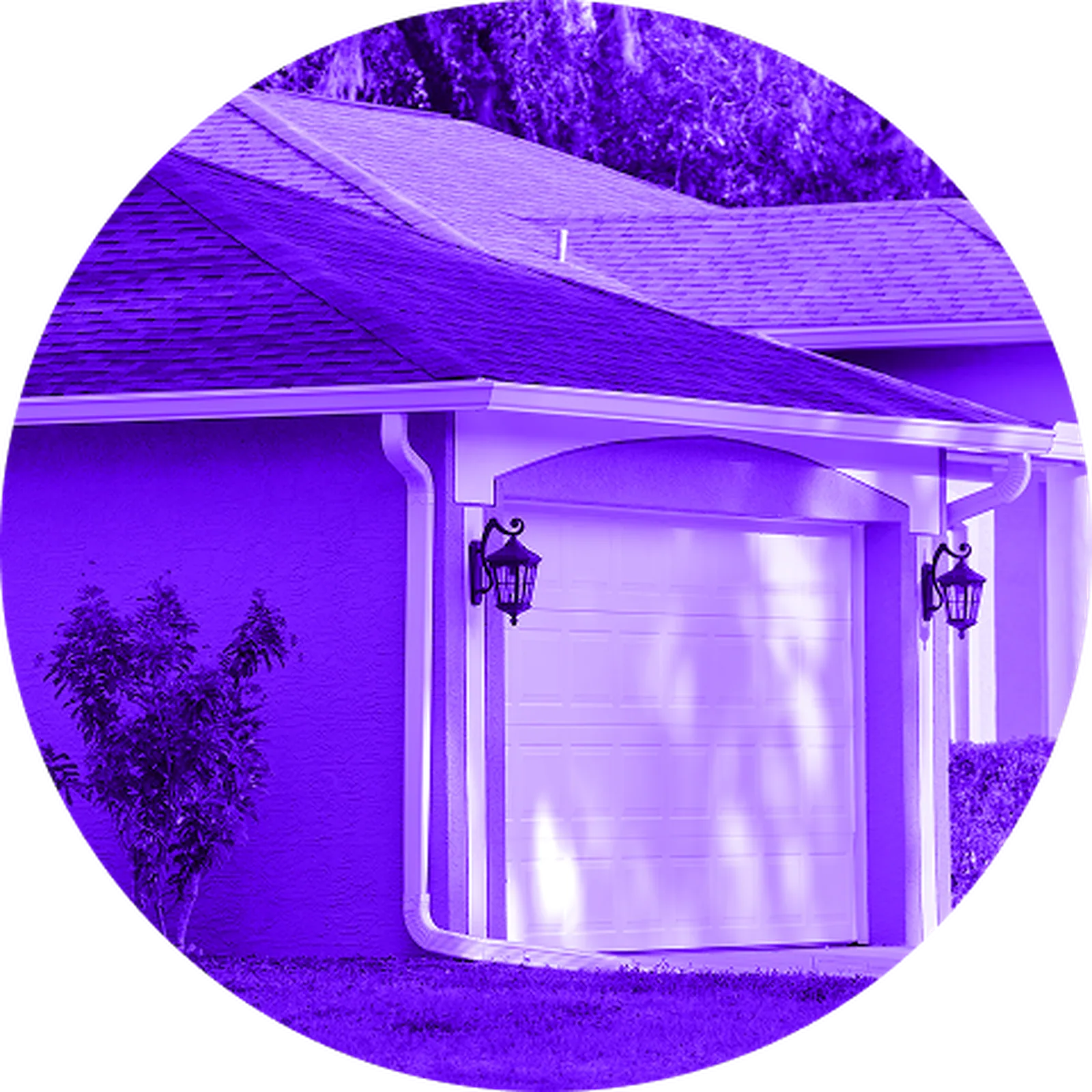
"We have been delighted by Canibuild and successfully incorporated it into our sales process. Our Homes Consultants have embraced the tech and love how it simplifies selling. The support from Canibuild team has been exceptional and their accessibility has made rollout much easier. We look forward to developing our partnership and are excited by their technology development"
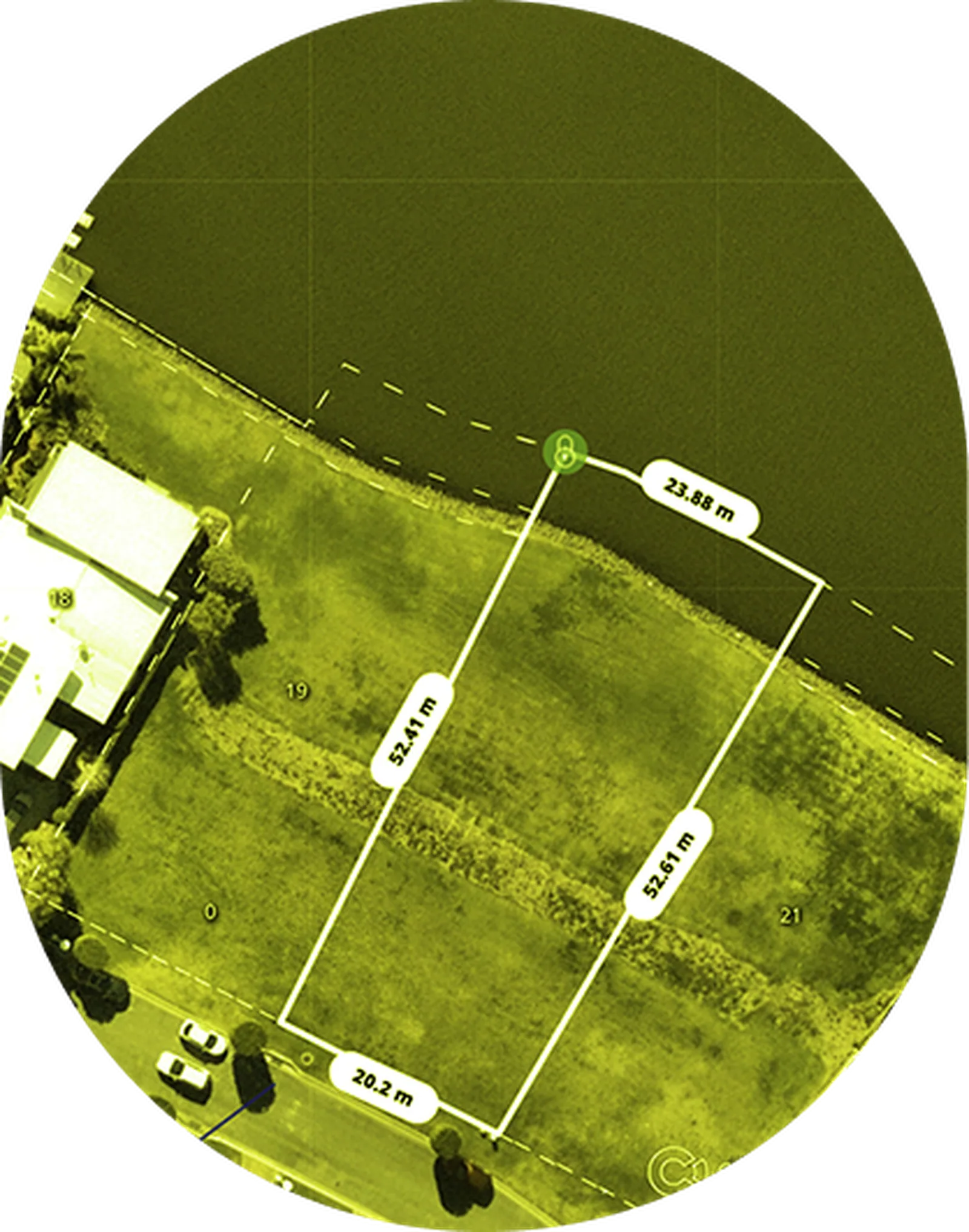
"To be able to access information such as setbacks, contours and site information all within minutes in front of a client is a game changer and such a time saver. You really don’t need any other programs!"
"Canibuild has changed the way I do business. When I show up on site, I can quickly place pools and adjust designs as needed. Once the design is finished, I can order architectural plans directly from canibuild and within a few days have plans ready to submit for county permitting. It helps me look professional while saving significant time and money."
Enhance Your Experience
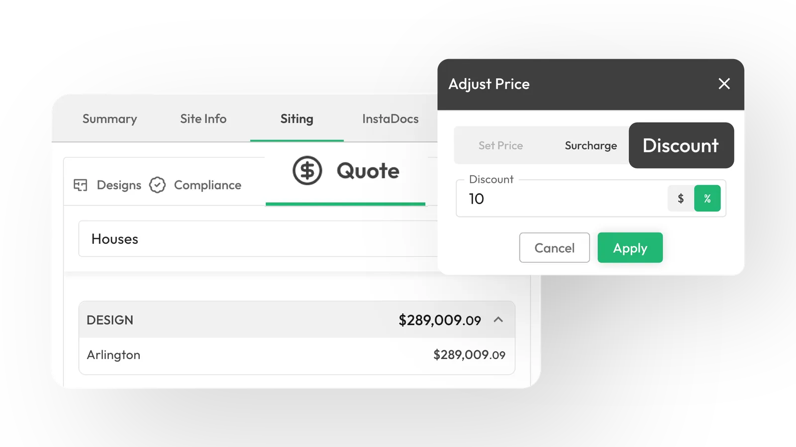
SmartQuote: Instant costs and margins clarity
Generate precise material takeoffs and cost estimates in real-time, so that you can quote faster and more accurately.
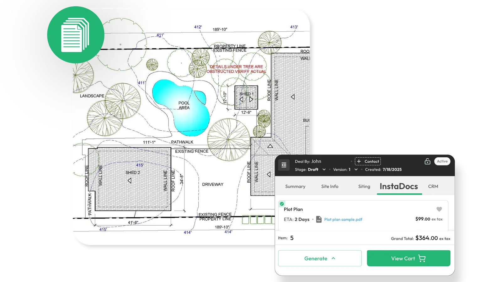
InstaDocs: Order-ready docs with 2-click access
Quickly generate and access all necessary documentation for your build with minimal effort and accelerated turnaround.
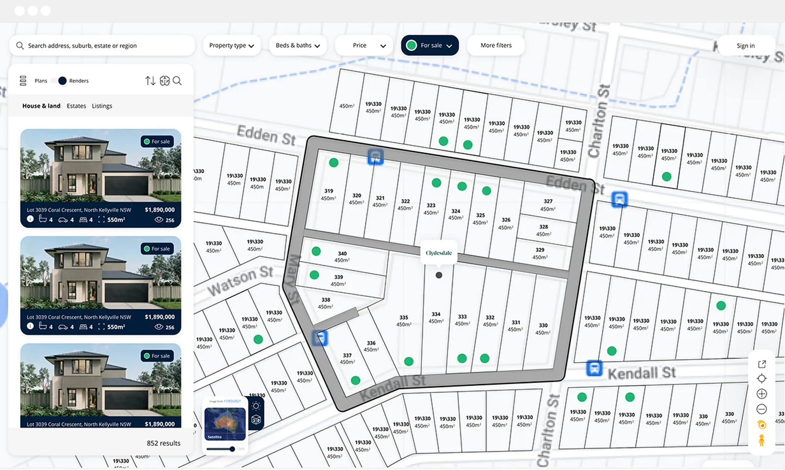
New Construction Homes: Turn any land into live packages
Package land with suitable house designs, ready for market and sales.
SmartQuote: Instant costs and margins clarity
Generate precise material takeoffs and cost estimates in real-time, so that you can quote faster and more accurately.
InstaDocs: Order-ready docs with 2-click access
Quickly generate and access all necessary documentation for your build with minimal effort and accelerated turnaround.
New Construction Homes: Turn any land into live packages
Package land with suitable house designs, ready for market and sales.
Frequently Asked Questions
What does SiteCheck do?
Instantly shows where and what you can build using AI and real property data. Start every project with confidence from the first site check.
How accurate is Canibuild's SiteCheck data?
Powered by trusted mapping and council data, SiteCheck provides reliable early-stage feasibility checks. Our GIS team manually verifies every source before entering it into the system, ensuring precision for fast, confident design and client decisions.
How often does the imagery update?
Our high-resolution aerial imagery is updated frequently every quarter. We pull imagery from a wide variety of sources, providing our users the most up to date images available.
Can I use Canibuild on my mobile phone or iPad?
Yes! Canibuild is cloud-based, therefore you can use the platform on any device from your browser. However, we provide the best usability experience on desktop based browser usage.